

New SEAPOP Data Product: Seabird Habitat Use During the Breeding Season
SEAPOP has developed a new map application showing how different seabird species utilize areas near their colonies during the breeding season. The maps are based on GPS tracking data and will be updated annually.
Accurate Position Data
In close collaboration with SEATRACK, we have continuously expanded our knowledge since 2015 of where North Atlantic seabirds spend the winter months by using geolocators for individual position tracking. Following many years of collecting more accurate position data through GPS devices deployed on seabirds, we can now present maps showing how breeding individuals of twelve different species use the areas surrounding Norwegian colonies during the breeding season.
Providing Insights into Critical Habitats
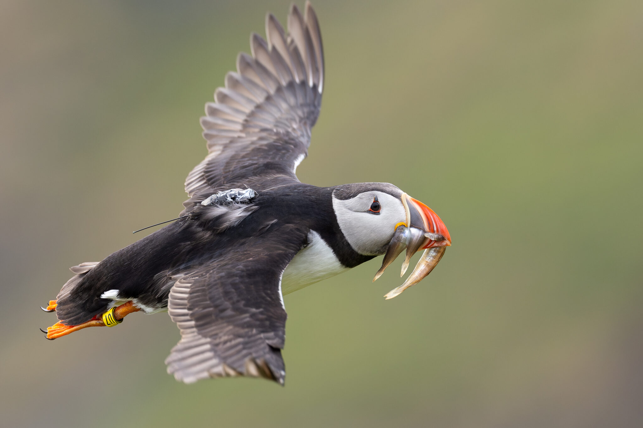
The tracking effort has focused on adult breeding birds, which have predominantly carried GPS devices after their eggs hatched. During this period, the birds spend much of their time away from the nest foraging as efficiently as possible for both themselves and their chicks. As a result, their movements away from the colony reveal the locations of marine habitats that are essential for the survival of seabird populations.
Kernel Density Maps
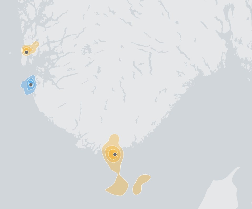
In the application, the position data are presented as kernel density maps. Simply put, areas with a high concentration of recorded positions are displayed with darker colour tones, while areas with lower concentrations are shown in lighter shades. Consequently, the darkest areas indicate where the birds spend most of their time.
Annual updates
The application is easy to use and allows users to compare up to five different combinations of species, colony, and year simultaneously. It will be available alongside other data products under the “Maps and Data” section on our Norwegian front page, and will be updated as new data become available.
Try the application: Habitat use during breeding season
Contact person: Nina Dehnhard, Norwegian Institute for Nature Research