New data products from SEAPOP
SEAPOP has developed new maps of seabird distribution, environmental value and vulnerability to offshore wind farms. The maps are presented on the SEAPOP web site, and the data are available for downloading.
Seasonal maps for all species
SEAPOP has recently published new data products that provide information and overviews of three important parameters related to seabirds along the Norwegian coast and the adjacent marine areas: their distribution, environmental value and vulnerability to offshore wind farms. The data cover all seabird species occurring regularly in waters off the Norwegian mainland in spring, summer, autumn and winter, and they are prepared for presentation in maps.
Distribution models based on systematic observations
To develop the maps, SEAPOP has used all known datasets that systematically pinpoint observations of seabirds in Norwegian marine areas. Based on these datasets, distribution models were developed for every species in each of the four seasons. By weighting for the species’ environmental value (red list status and national responsibility) and vulnerability to different threats, the maps highlight important areas for seabirds and their vulnerability to human activities such as wind farms.
– New data are collected annually, and the datasets will be updated continuously, says SEAPOP coordinator Per Fauchald.
Useful for management
The new data products can be used to identify habitats and other especially valuable areas for different seabird species throughout the year. They will thus be very useful within land and marine planning, environmental risk analyses and impact assessments, e.g. to identify which species and proportions of the national populations may be affected by management actions, disturbance and wind farm development.
Available for download and use
A presentation of the maps can be found on the SEAPOP web page for maps and data (at present only on the Norwegian version), and the datasets are available for download in raster and vector format.
View SEAPOP’s maps of distribution, environmental value and vulnerability to ocean wind farms
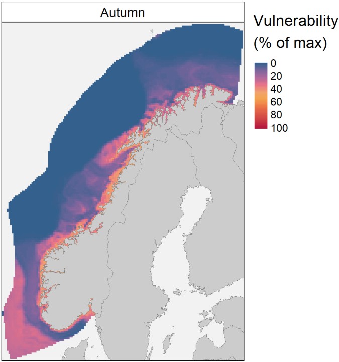
Illustration © SEAPOP
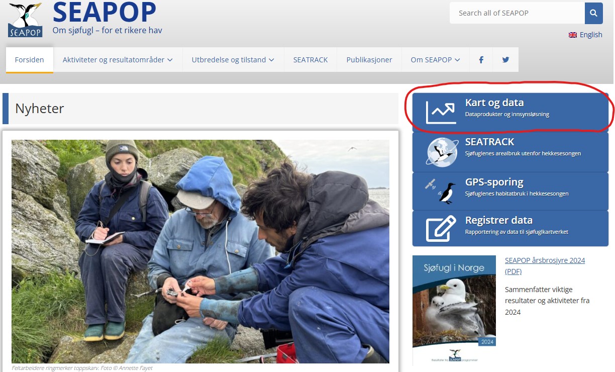
Illustration © SEAPOP
Contact person: Per Fauchald, Norwegian Institute for Nature Research