New method improves geolocator data processing
Geolocators are used widely to study migration patterns and distribution of birds, especially seabirds. The process of converting raw geolocator data into positions on the map is intricate and relies on subjective assessments and assumptions that are difficult to test. A new method for processing data from geolocators has now been developed.
A geolocator is a small, lightweight, electronic device that can be attached to a bird’s leg band. The device, which is also known as a global location sensor (GLS), contains a light sensor and a clock, and some models are also equipped with other sensors that measure pressure, contact with water, etc. The geolocator continuously records light intensity during the day to produce coarse estimates of latitude and longitude. However, several sources of error are associated with this type of data, and the process of converting them into geographical coordinates that can tell us where the bird has travelled can often be long and complex. Researchers within SEAPOP/SEATRACK have now published a new method for calculating positions from geolocator data, and their method can be applied to data from all geolocator models that exist today.
Read the article:
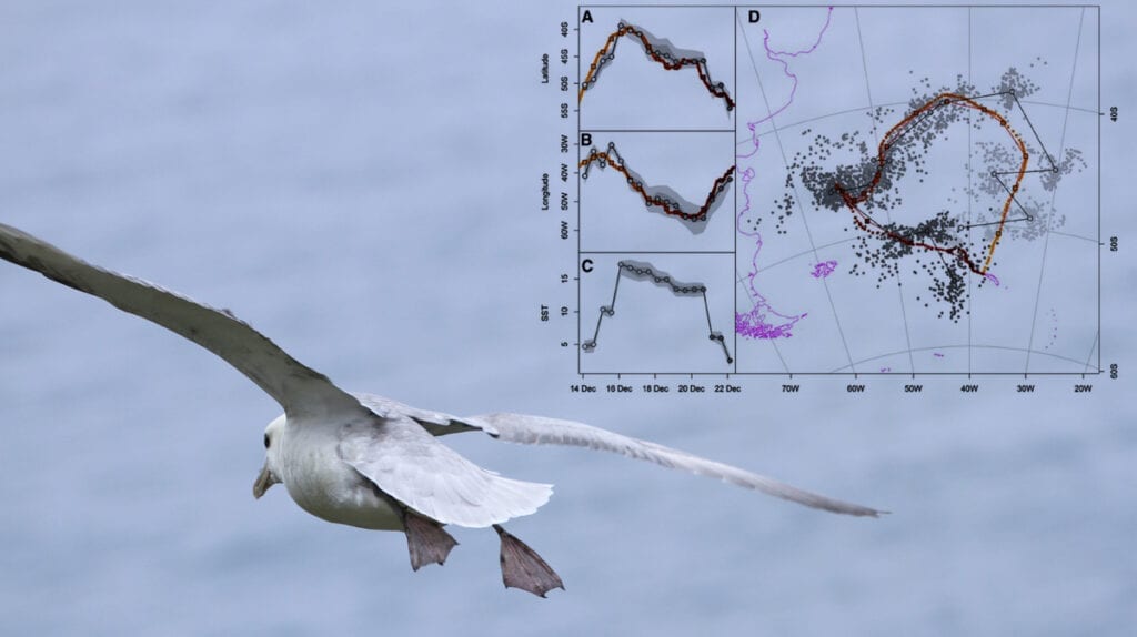
Compared to other known methods for processing geolocation data, this new method is relatively simple and easy to implement. It calculates positions quickly and reduces position errors at times close to the equinoxes. The procedure was tested with data from two seabird species, the black-browed albatross (Thalassarche melanophris) and the wandering albatross (Diomedea exulans), equipped with GPSs and geolocators. The new method proved to be much more accurate in calculating the positions of the birds around the solstices and equinoxes than the methods that have been commonly used until now.
Contact person: Hallvard Strøm, Norwegian Polar Institute

Photo: Erlend Lorentzen